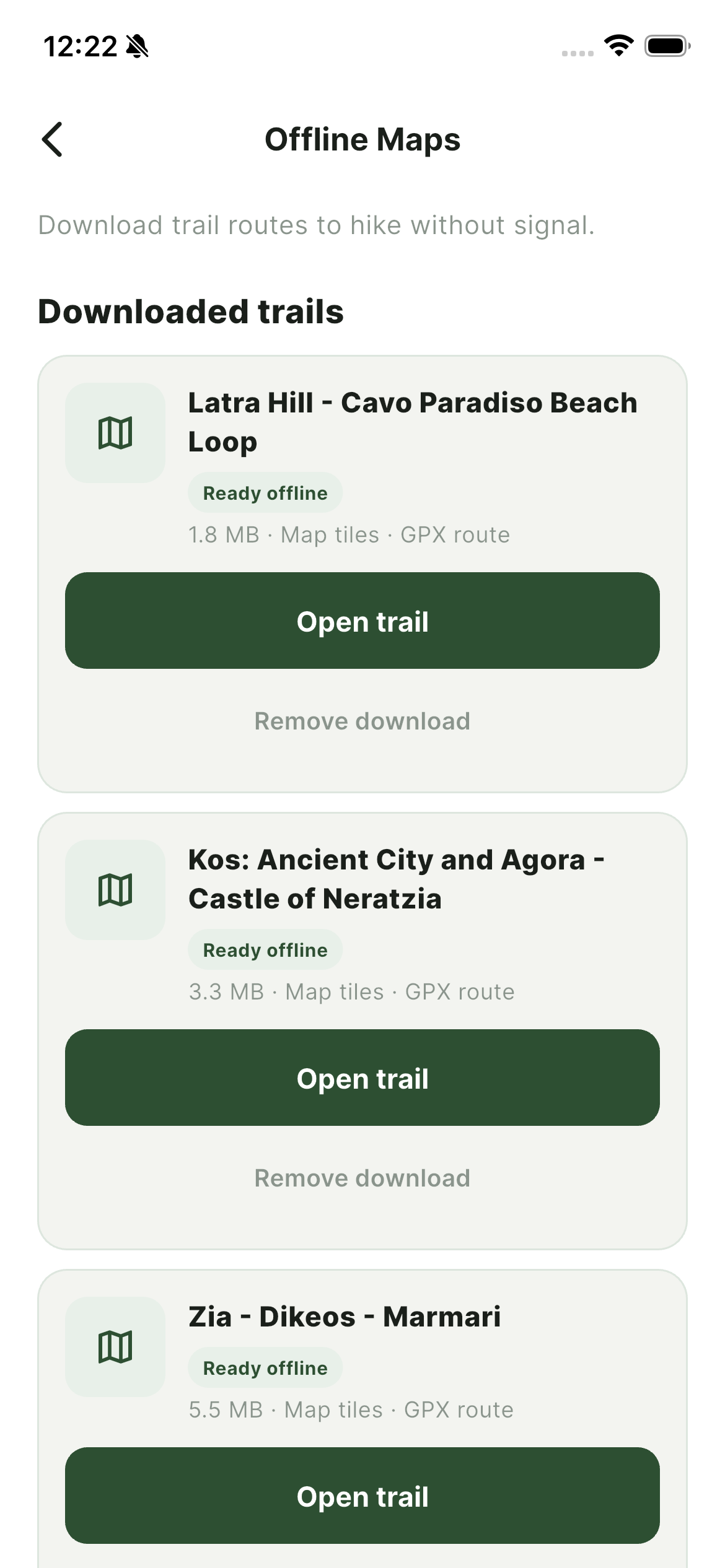
Kos looks small on a map until you are halfway up a mountain with no bars and a fork in the trail. Coverage is decent in towns and along the coast, but mountain routes around Dikeos, Zia, and Asklipio are unreliable for mobile data.
What offline maps give you
- Trail geometry on the ground — see the exact path even when signs are missing or worn.
- Your position — GPS works without internet; downloaded tiles do too.
- Peace of mind — especially on longer routes like Asklipio–Tharri or Mt. Dikeos Summit.
When to download
Do it at your hotel, apartment, or any café with Wi‑Fi the night before. Do not wait until the trailhead. Large packs take a minute or two and you do not want to burn battery retrying on weak signal.
Which pack to choose
TrailKos groups offline regions by area — northern mountains, Kos Town surrounds, and southern coast. If you are only hiking Zia and Dikeos, the compact northern pack is enough. Planning a week of exploration? Grab the full island bundle.
Battery tip
Keep your phone in airplane mode with GPS on. You will last much longer than leaving mobile data hunting for a tower in a valley.
Offline maps are not just for experts. They are the difference between a relaxed walk and an unplanned detour through goat tracks.